Last September 21st, at BBVA Innovation Center, we presented the results of our last research on territorial analytics: Urban Discovery, a new tool developed together with CARTO, that shows how the analytics of anonymized credit card data can serve to identify functional areas in Madrid, Barcelona and Mexico City, to describe city main dynamics and areas of specialization, and to compare areas from different cities.
This tool is not only thought to gather its users feedback, but also allows the download of its results, to foster its reuse in further researches, so many relevant stakeholders in the urban planning discipline were invited.

Program
The event was conducted by Fabien Girardin, co-CEO of BBVA Data & Analytics and an expert himself in the urban data-based applications. There were three speakers, Juan Murillo and Juan de Dios Romero on behalf of the analytic team that carried out the research at BBVA Data & Analytics, and Jaime de Mora, representing CARTO, pioneering software company that has developed the GIS tool upon which the project was built.
Juan Murillo spoke about the Urban Analytics and Data for Social Good initiatives carried out at BBVA Data & Analytics and highlighted some of them, for example, how we measure and characterize the impact of urban management decisions on the city space, based on the commercial activity digital footprint, analysis executed last Christmas to study the effects of traffic calming measures promoted by the City Council of Madrid in Gran Vía; or the results of our project “Big Data and Tourism” developed together with BBVA Bancomer and the Secretariat of Tourism in Mexico (SECTUR), whose aim was to create new insights based on the spending patterns of national and international visitors to enhance the tourism.
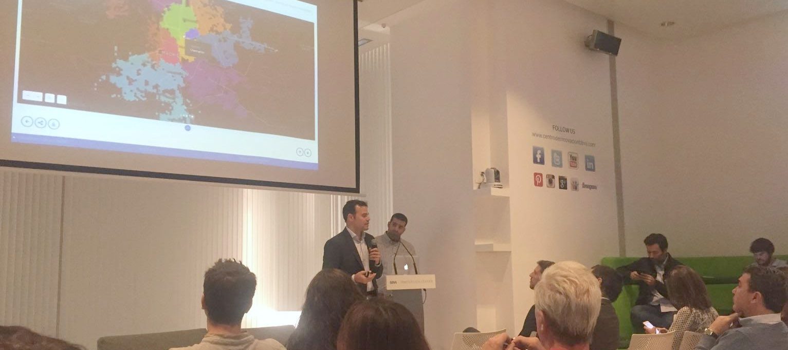
Juan de Dios Romero focused on the analytical and technological development of Urban Discovery. In this article you may find the main ideas that he shared during the event regarding the methodological challenges that have been solved in this project, and the main features and user experience of the tool. Closing this first part, Juan Murillo helped to the results interpretation from an urban perspective.
Afterwards, Jaime de Mora spoke about the power of geolocated data and how this had provoked in some way the birth of CARTO. Among the projects he showed, we can highlight two very interesting projects, firstly a visual analysis of credit card transactions before and during Mobile World Congress 2012 to reveal the economic impact on the city, developed in partnership with us. Secondly, a tool that allows us monitoring forest deforestation. However, as a remarkable fact, he noted that, while 80% of all the generated data is geolocated, only 10% of the most pioneering governments are exploiting them.

The event was attended by people from many fields such as journalists, researchers, people from the Academia, and representatives of the City Councils of Madrid and Barcelona, that contributed with interesting questions to the debate with the speakers around the following items:
- Leaving behind official districts and neighborhoods
- Understanding cities through dynamic data: practical applications of these insights for citizens, corporations, and public sector
- Open data and data reuse: academic and/or commercial examples
- Fine grained data accessibility through BBVA API Market
- The necessary merge of traditional statistics and data science
- The need for data science skills and teams within public administrations
Further readings
After its public release, the project has generated remarkable media impacts, here you may find some additional articles (in spanish):